Q1
What is a globe?
AA 3D model of the Earth
BA flat map
CA type of compass
DA type of chart
Globes and maps are tools that help us understand the Earth's geography, though each has different uses and limitations.
Core concept
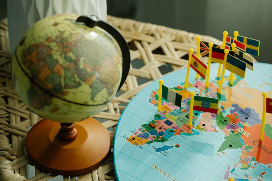
A globe is a three-dimensional model of the Earth, showing accurate shapes, sizes, and distances, but it's not practical for carrying around or showing small areas in detail.
How it works
A map is a flat representation of the Earth or a part of it, which is portable and can show great detail, but it may distort some shapes or distances since a round Earth cannot be perfectly flattened.
Why it matters
Maps use symbols, scale, and a key (legend) to represent real features, and are often more useful for practical, everyday purposes like navigation.
Key detail
Understanding both globes and maps, along with their strengths and limitations, helps us choose the right tool for the right purpose in studying geography.
Exam highlight
Trending
Most searched
Study resources
• A globe is a 3D model of the Earth.
• Globes show accurate shapes, sizes and distances.
• Maps are flat representations of Earth or an area.
• Maps are portable and can show great detail.
• Maps may distort some shapes or distances.
• Maps use symbols, scale and a key.
• Maps are useful for everyday navigation.
• Globes and maps each have strengths and limitations.
Frequently tested concept from this chapter in school exams.
Compare a globe and a map for a specific use.
Write & explainFind a symbol and key on a map you have.
Write & explainDiscuss why a map of your city would be more useful than a globe.
Write & explainExplain one limitation of maps.
Write & explainPractice reading a map's scale.
Write & explainDraw a simple map of your school or home.
Write & explainBeyond the syllabus
Theme